Temperatures have dropped as colder arctic air spreads across the UK, with icy conditions ahead of snow being forecast for much of the country in the coming days.
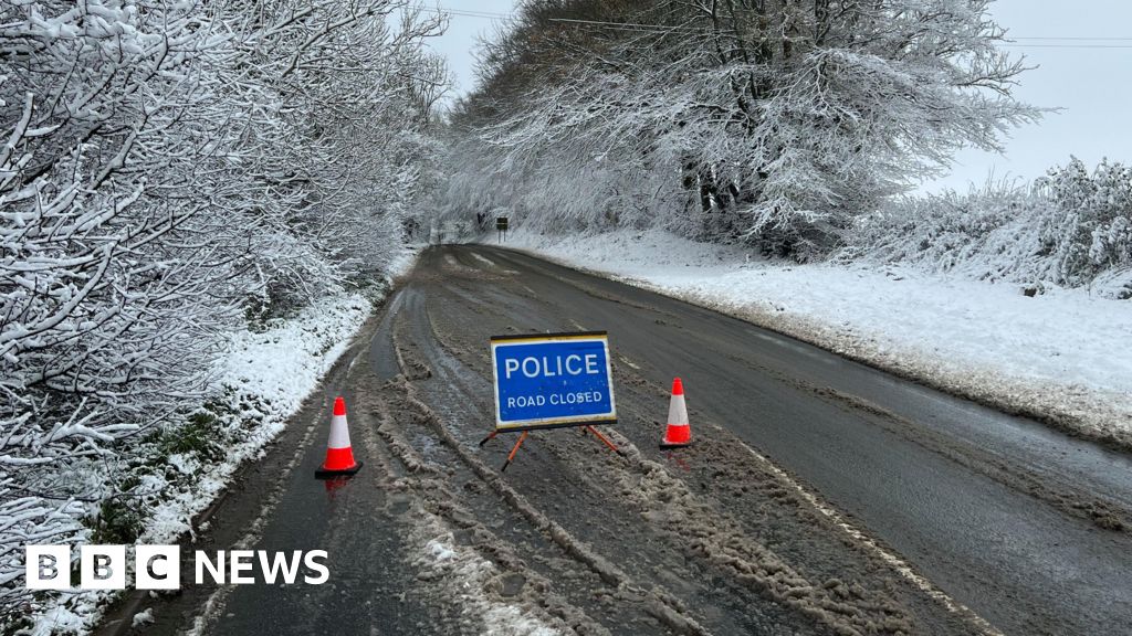
A Met Office yellow warning for snow has been issued for much of England and Wales and parts of Scotland over the course of three days this weekend, with cold conditions forecast to continue into Monday.
Separate warnings for ice were in place on Thursday morning after much of the UK was lashed by strong winds and heavy rain, which led to widespread flooding across the north-west of England.
A number of flood warnings and alerts stay in place in the area as a major clean-up operation continues after hundreds were evacuated from their homes.
Colder conditions bring to an end a run of unseasonably mild weather over the festive period, which saw highs of between 11C and 13C forecast on Christmas Day.
The snow warning starts at noon on Saturday until 09:00 GMT on Monday and covers all regions of England apart from the South West, the majority of Wales and parts of southern Scotland.
Temperatures are set to be around 5C below the early January average, with a wind chill making it feel even colder.
Saturday is likely to be the coldest day as most areas will see top temperatures of around -1C to 2C. There will be overnight frosts in the coming nights too.
While we are now in cold snap with wintry showers and potential for significant snow over the weekend for some, this is nothing unusual for winter in the UK.
About 5cm of snow is expected across the Midlands, Wales and northern England over the weekend, with as much as 20-30cm over high ground in Wales and the Pennines. With strong winds, some drifting may also be possible.
Parts of Scotland and Northern Ireland may also see some disruptive snow. In southern England any snow is likely to turn back to rain as milder air temporarily arrives.
It means there is a risk of rural communities being cut off, schools being closed and power cuts, as well as widespread travel disruption.
Snow is notoriously hard to forecast, and the warning will probably be modified closer to the time as confidence in in the data behind it grows.
Just a small change in temperature or the track of the low pressure can mean an area gets rain or sleet instead of snow.
The fresh warnings come after many Britons had their new year’s celebrations accompanied by heavy rain and extensive flooding, including in Greater Manchester where a major incident was declared on New Year’s Day.
Places affected include Bolton, Didsbury, South Manchester, Harpurhey, north Manchester, Stalybridge, Stockport and Wigan.
Twenty flood warnings remain in place in the north west and evacuation centres have opened in Wigan, Stockport and in Ormskirk, Lancashire, to support those who had to leave their homes.
In Cheshire, the banks of the Bridgewater Canal collapsed with water pouring into surrounding fields at Little Bollington, prompting road closures and property evacuations.
About 3.5in (90mm) of rain has fallen widely across north-west England over the last 24 hours with more than 3.9in recorded on some hills in north Wales and Cumbria.

